 Meta Solusi Digital
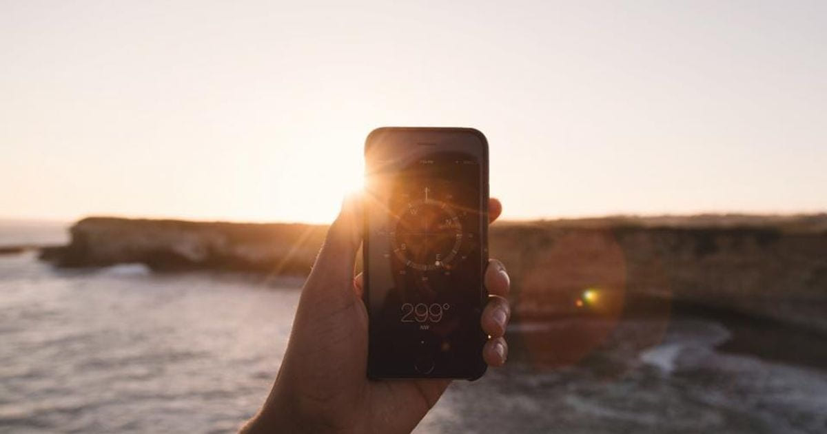
Indonesia's nationwide Qibla verification movement on July 15–16, 2026 invited people to check their prayer direction while the Sun was directly above the Kaaba. At 4:27 PM Western Indonesian Time, a line drawn from the tip of a shadow toward the base of an upright object could serve as a reference toward the Kaaba.
This Istiwa A'zam phenomenon is also a reminder that the direction shown by an app does not appear magically. Behind a simple arrow is a combination of satellite positioning, phone sensors, Earth's magnetic-field models, and geographic calculations.
An App Needs to Know Two Things
To display the Qibla direction, an app needs to know:
- Where the user is located. Location is usually obtained through GPS, cellular networks, Wi-Fi, or a combination of all three.
- Which way the phone is facing. This information comes from the magnetometer and motion sensors inside the device.
The user's coordinates are then compared with the coordinates of the Kaaba. The app calculates the shortest direction across the Earth's surface from the user's location to Mecca and displays the result as an angle or an arrow.
GPS Is Not the Same as a Compass
GPS helps determine location and can calculate the direction of travel while a user is moving. However, GPS does not always know where the top of a stationary phone is pointing.
For that purpose, the phone uses a magnetometer. This sensor reads the surrounding magnetic field to estimate magnetic north. The accelerometer and gyroscope help detect the device's tilt and movement so that the compass display can adapt to the phone's orientation.
This is why a Qibla app needs more than one sensor. The system combines several data sources because each has its own strengths and limitations.
Magnetic North and True North Are Different
A compass points toward magnetic north rather than geographic or true north. The angular difference between the two is called magnetic declination. Its value varies by location and changes over time.
A well-designed app can use the user's location and an Earth magnetic-field model to correct this difference. Without adequate correction or location data, the arrow may shift several degrees from the intended direction.
Why Can Different Apps Show Different Results?
A difference does not always mean that one app uses a completely incorrect formula. The result can be affected by several factors:
- Location accuracy: Disabling precise location permission gives the app a less specific position.
- Sensor quality: Magnetometer accuracy varies between devices.
- Magnetic interference: Magnetic cases, metal tables, speakers, vehicles, or electronics can distort readings.
- Calibration: An uncalibrated sensor may produce an unstable direction.
- Models and data updates: Apps may use different magnetic correction methods or data versions.
- How the phone is held: Device tilt can affect the result if orientation compensation is inadequate.
Simply moving a phone a few centimeters away from metal can sometimes change the displayed direction.
What Does Phone Calibration Do?
Moving the phone in a figure-eight pattern helps the system collect sensor readings from multiple directions. The data is used to recognize magnetometer bias and improve the heading estimate.
Calibration does not change the position of the Kaaba. It improves how the phone understands the magnetic field around the user. If strong magnetic interference remains, the result may still be inaccurate even after calibration.
Istiwa A'zam as a Verification Reference
When the Sun is directly above the Kaaba, people can use the shadow of an upright object as a physical reference. This method does not depend on a phone magnetometer, making it useful for checking whether the direction shown by an app, room marker, or building is aligned correctly.
The observation still requires care: the time must be exact, the object must be perfectly upright, the surface must be level, and the shadow must be clearly visible. For places of worship requiring greater certainty, verification by qualified specialists remains advisable.
Lessons for Application Development
Location- and sensor-based applications need to communicate accuracy, request permissions with a clear reason, detect invalid data, and guide users when calibration is required. An interface that looks simple may depend on sophisticated data processing and robust handling of real-world conditions.
Meta Solusi Digital can help develop web and mobile applications, location-based systems, data dashboards, and user experiences that turn complex technical processes into understandable information. The best technology does more than produce a number, it helps users make decisions with confidence.
- arah kiblat
- GPS
- kompas digital
- sensor ponsel
- aplikasi mobile